
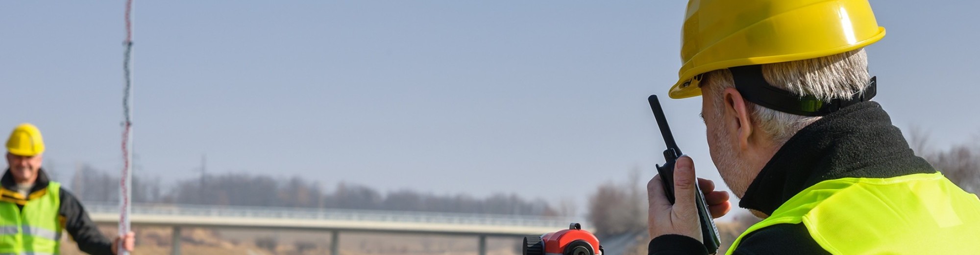
Redcon Land Surveying provides many aerial services & data deliverables for the Construction, Surveying & Engineering industries.
With the ability to gather volumetric and linear measurements from the air, Redcon Land Surveying gives engineers and general contractors the ability to audit the progress of a project without ever stepping foot on the site. This includes things like orthorectified images & 3D point clouds for permanent records of installations, analyzing stockpiles of raw materials, and auditing Earthworks CutFill calculations, while ensuring that the elevations and horizontal data gathered are accurate.
Deliverables include:
- 3D Point Cloud
- DXF File
- Index Maps
- Volume Calculations
- Orthorectified Photos
- Cad Files